
Web users are to be given access to undersea landscapes, including the habitat of threatened species that live off the coast of England, as part of Google Earth.
The new “layer” of Google Earth Outreach will feature video streams, photo galleries and stories from marine protected areas (MPAs) around the world.
The Government’s conservation agency Natural England has contributed information about 43 marine sites around the coast of England that offer some protection to species such as the basking shark, as well as seahorses, corals and algae.
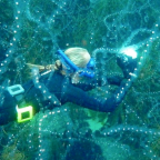
One of the sites users can visit “virtually” is Lundy Island, off the North Devon coast, England’s only statutory marine reserve and a no-take zone banning fishing and enabling wildlife in the 3.3 square kilometre area to thrive.
Dr Helen Phillips, Natural England’s chief executive, said she hoped the new MPA layer in Google Earth would bring the marine environment to life and raise awareness of the need to conserve and enhance it.
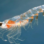
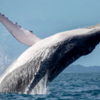
“There needs to be a change in attitudes towards protecting our oceans. The diversity of marine wildlife around England’s coastline is exceptional – we have everything from whales through to microscopic phytoplankton. But we need an enhanced marine protection system to help conserve our undersea environment,” she said.
The new site was launched at the International Union for the Conservation of Nature’s (IUCN) world conservation congress in Barcelona.
The IUCN’s new global web portal, Protect Planet Ocean, will also be launched to provide information on the urgent need to strengthen the protection provided for the marine environment.
In the UK, a Marine Bill is set to be introduced in the next session of Parliament which will include powers to create marine protection zones and prevent damaging activities such as dredging in those areas.
Source: PA




Social Profiles