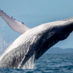
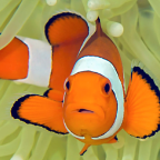
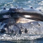
Google has made a key change to Google Earth, opening up a layer of detail painstakingly assembled about the world’s oceans.
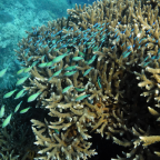
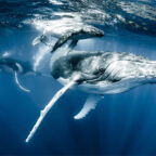
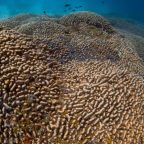
A project was launched last year called Ocean in Google Earth aiming to include 3D maps of oceans, as well as videos, photos and scientific narrative.
With help from the Sylvia Earle’s Mission Blue foundation and ‘dozens of committed individuals around the world’, Google has now reached the stage where it can make the information layer part of the default set of annotations seen by all Earth users.
Humble step
“Although a humble step given the dearth of information available about these vast expanses of geography, we are happy to take one more step to make the oceans a first-class part of Google Earth and to give them at least a starter portion of the thick soup of photos and places that describe the land part of the planet,” explains Google.
“One of the greatest things about Earth is that it allows everyone to see and experience the fullness of their planet, from revisiting places they know well to venturing out to formerly unknown mountain peaks, desert vistas, and increasingly, the blue heart of life on Earth.
“As Sylvia has said of the Ocean on many occasions, ‘With knowing comes caring, and with caring there’s hope.'”
There is a narrative available for those who want an introduction to the new features at http://earth.google.com/ocean/showcase/#hope-spots.
Read more: http://www.techradar.com/news/internet/oceans-of-data-added-to-google-earth-682119#ixzz0kUuU8l5d

Social Profiles