
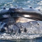
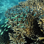

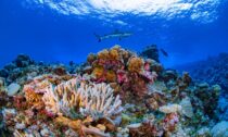
Coral reefs are sometimes referred to as “the rainforests of the seas” — they are one of the most biodiverse ecosystems on the planet. Although they cover just one percent of the ocean floor, these mesmerizing, scaly habitats support an estimated 25 percent of all marine life. They are also highly endangered: the climate crisis, coastal development, ocean acidification, and destructive overfishing are a few of the many factors contributing to their alarming decline. By some estimates, nearly all remaining reefs will be at risk by 2050.
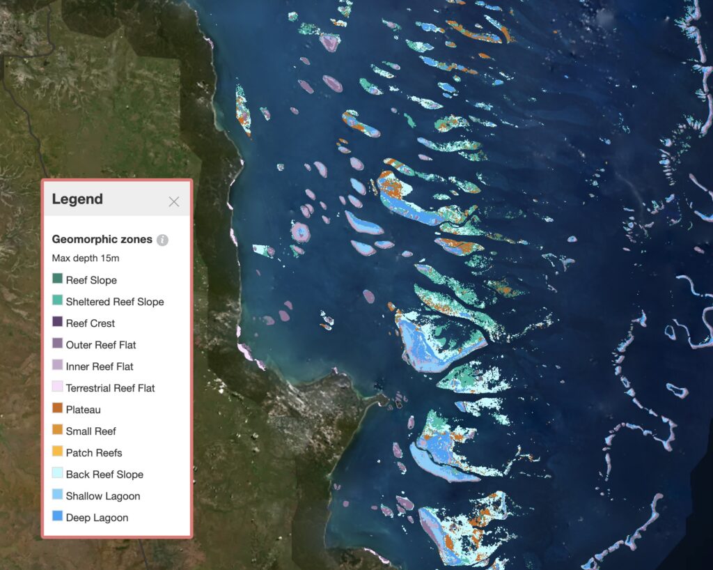
Scientists have now completed the first comprehensive, continually-updated map of the world’s shallow coral reefs, a critical tool for their preservation. Using 2.25 million satellite images, the Allen Coral Atlas maps nearly 100,000 square miles of shallow coral reefs.
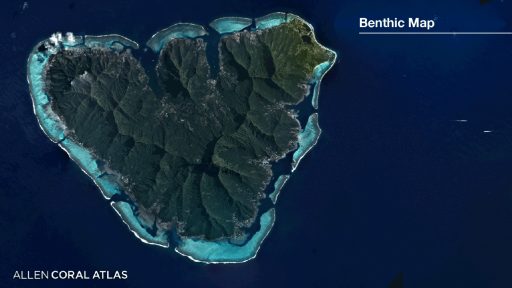
Over 450 teams of scientists from around the world contributed data for the initiative, directed by Arizona State University (ASU)’s Center for Global Discovery and Conservation. Named after Microsoft founder Paul Allen, whose company Vulcan funded the Atlas website, the interactive platform is a team effort. The Earth imaging company Planet provides satellite photographs, while the University of Queensland applies machine learning to create map layers and the National Geographic Society trains conservationists to use it.
According to a statement, 14 countries are already using the Atlas for marine planning projects; combined with a system that tracks coral bleaching eventsreleased earlier this year, it’s a valuable resource for both scientists and policymakers.

“It is a gratifying milestone after years of dedicated non-stop teamwork to bring this global map to fruition,” said Greg Asner, Managing Director of the Atlas at ASU. “But the true value of the work will come when coral conservationists are able to better protect coral reefs based on the high-resolution maps and monitoring system.”
“We must double down and use this tool as we work to save coral reefs from the impacts of our climate crisis and other threats,” he added.


Social Profiles